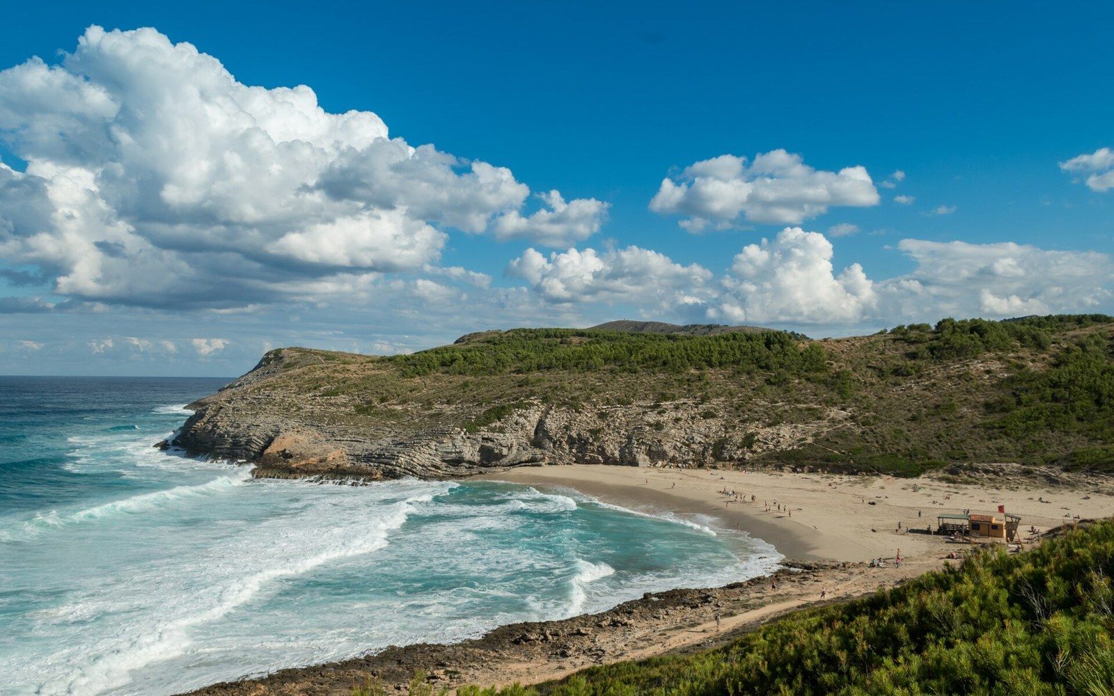
The track that kept developers away is now the point.
How a bad road became the best protection
Cala Torta sits near the northern end of the Llevant natural park, roughly five kilometres south of Cap de Ferrutx as the coast runs, and it has no proper road. What it has is a dirt track that descends through scrub oak and wild rosemary, loose enough in its surface to jar the teeth and narrow enough that two vehicles negotiating a passing place feel like a diplomatic incident. For most of the twentieth century's development boom, that was enough to keep the concrete mixers away.
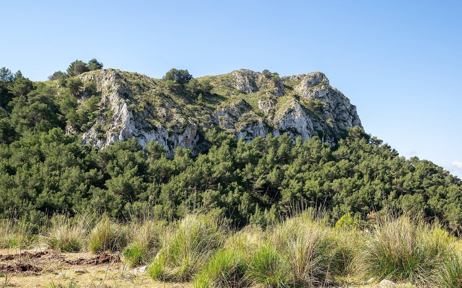
The coastline around Artà belongs to a stretch of the eastern Mallorcan shore that simply refused to be convenient. The Serra de Llevant drops toward the sea without the gentle gradient that builders require, and the torrents — seasonal riverbeds that carry nothing for nine months then everything in an hour — cut the land awkwardly. Where the western coasts of the island were already staked with hotels in the 1960s, the Llevant shore was still the province of farmers walking down from their possessió, the large agricultural estate that is the traditional unit of rural Mallorcan land, to fish from the rocks or salt a catch.
Cala Torta itself is a broad arc of coarse sand backed by low dunes and pine. It faces east, which means the morning light hits flat and the Tramuntana is invisible — you are looking at open Mediterranean, not at the island's own scenery. That orientation also means the wind can come in unimpeded when the Llevant, the easterly the region takes its name from, decides to blow. On a flat summer day the water is clear enough to read depth by colour alone: pale green over the sand bar, blue-green at the drop-off, deep blue beyond.
On a flat summer day the water is clear enough to read depth by colour alone: pale green over the sand bar, blue-green at the drop-off, deep blue beyond.
Immediately north, a short walk along a coastal path, is Cala Mitjana, smaller, rockier, and still emptier. South of Cala Torta, Cala Estreta narrows to almost nothing. These are not separate destinations so much as a single undeveloped coast chopped into readable sections by limestone headlands. The park boundary, established in 2001 and extended across this stretch of coast, has now formalised what the track informally enforced.
The track does not lie
The drive in begins near the crossroads outside Artà that points toward Capdepera, then turns off onto a track signposted with the understatement typical of these back roads. The surface alternates between compacted earth and exposed rock, and it is long enough — around four kilometres — that anyone who arrived expecting otherwise has time to reconsider. In summer the track carries a steady file of cars; outside peak season, almost none. The parking area at the end is informal, dusty and finite, which means that on busy days the overflow simply stops walking when it gets tired, and the beach never fills evenly.
That arithmetic is important. Cala Torta is protected under the Llevant park's management plan, which restricts new infrastructure and controls access because of the fragility of the habitat behind the dunes. The dune system itself is a priority habitat under the European Union's Habitats Directive ↗, the kind of fixed-foredune and shifting-sand communities that disappear within a season of foot traffic if the paths are not respected. There are paths. They are marked. Most people use them.
The paradox the Llevant coast has arrived at is not unusual but it is instructive. The absence of development that once looked like simple agricultural poverty now looks like foresight, even though it was neither — it was geology and a bad road. Colònia de Sant Pere, the small fishing settlement on the bay to the north, grew slowly enough that it never acquired the infrastructure needed to export its model southward. The coast stayed as it was because nobody could make it easy enough, and easy enough was the only thing the market understood.
The track still does its job. You earn the beach, a little. That is now the attraction.