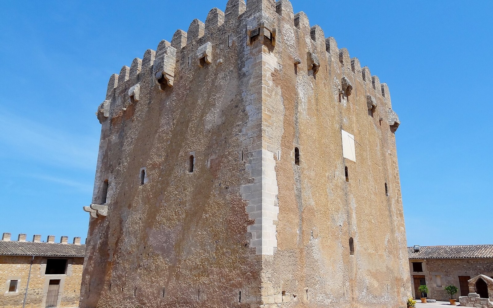
Stone watchtowers dot the Mallorcan coast at intervals that look almost regular — because each tower had to see the next one.
The logic of the line
The towers were not built for beauty, though time and limestone have made them handsome. They were built because the sixteenth and seventeenth centuries brought relentless corsair raids along the Balearic coast — Berber and Ottoman privateers operating from North Africa, targeting villages, harbours and any boat slow enough to catch. The raids were not occasional nuisances. They depopulated stretches of coastline, drove farming settlements inland and left the shore to whoever dared it. Mallorca's response was systematic: a network of watchtowers positioned so that each one could signal the next, passing fire or smoke from promontory to promontory until the alarm reached a fortified town.
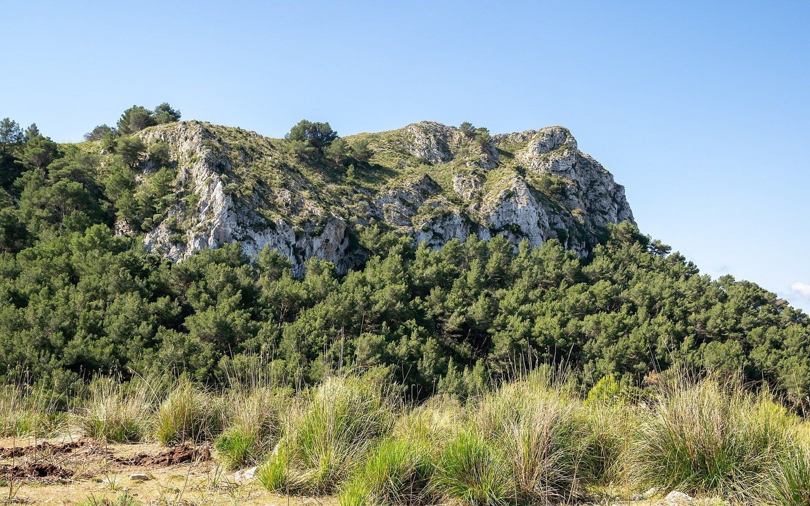
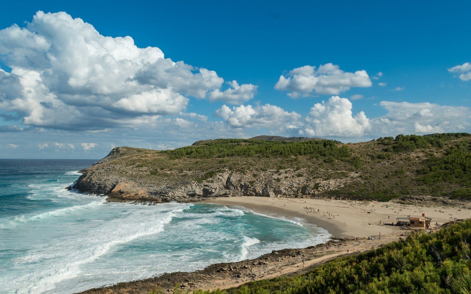
The key constraint was not stone or labour but optics. Each tower had to be within visible range of at least two neighbours, so the network could relay a warning without a rider. The intervals that result look like regular spacing on a map, but they follow the headlands, not a surveyor's grid. Where the coast bends sharply, towers are closer. Where a long straight cliff holds the view, the gap widens. The Llevant natural park coastline — rocky, broken and awkward — imposed its own geometry on the chain.
Torre de Canyamel and the Llevant coast
The Torre de Canyamel, set a short way inland from the Coves d'Artà, is the most substantial surviving example on this stretch. Unlike the simpler signal towers built under the sixteenth-century royal programme, Canyamel predates the corsair emergency by centuries: its core is a medieval defensive tower, probably thirteenth or fourteenth century, later adapted into the watchtower system and then again into a possessió, the Mallorcan term for the landed estate that typically grew around a fortified rural holding. The building acquired a great hall, storerooms and the agricultural apparatus of a working farm while its tower remained the dominant structure — a sign that nobody was entirely confident the threat had gone.
They depopulated stretches of coastline, drove farming settlements inland and left the shore to whoever dared it.
The towers built or rebuilt under the Aragonese crown's coastal defence programme from the 1570s onward follow a more standardised form: circular or slightly tapered in plan, with walls thick enough to resist light artillery and a single door set high above the ground. Entry was by ladder, which was pulled up behind whoever was last in. The garrison, where there was one, was typically small — two or three men charged with watching, signalling and nothing more. Resistance was not the point; visibility was. Coastal limestone caves cut into the same cliffs sometimes provided concealment for small boats and were part of the same landscape of risk.
The chain connected Artà's coast southward toward Capdepera and its castle, which served as the principal fortified refuge for the inland population when raids were reported, and northward into the terrain above Cala Torta, where the tracks are still poor enough to suggest how exposed those lookout positions once were. The Coves d'Artà themselves sit in the cliffs of a cape that any approaching vessel would round — precisely the kind of landmark a lookout tower needed to command.
What survives is uneven. Some towers are consolidated ruins; a few, like Canyamel, are well preserved; others are reduced to a ring of fallen blocks on a headland. The UNESCO listing of the Serra de Tramuntana in 2011 as a cultural landscape drew attention to dry-stone and agricultural heritage on the western side of the island, but the eastern defensive network has no equivalent designation, and several towers sit outside any formal protection. The spacing that made them work as a system is still readable from a boat or a cliff path — a line of sight across several centuries, documented by scholars of Balearic military architecture working from the original Crown of Aragon construction records.