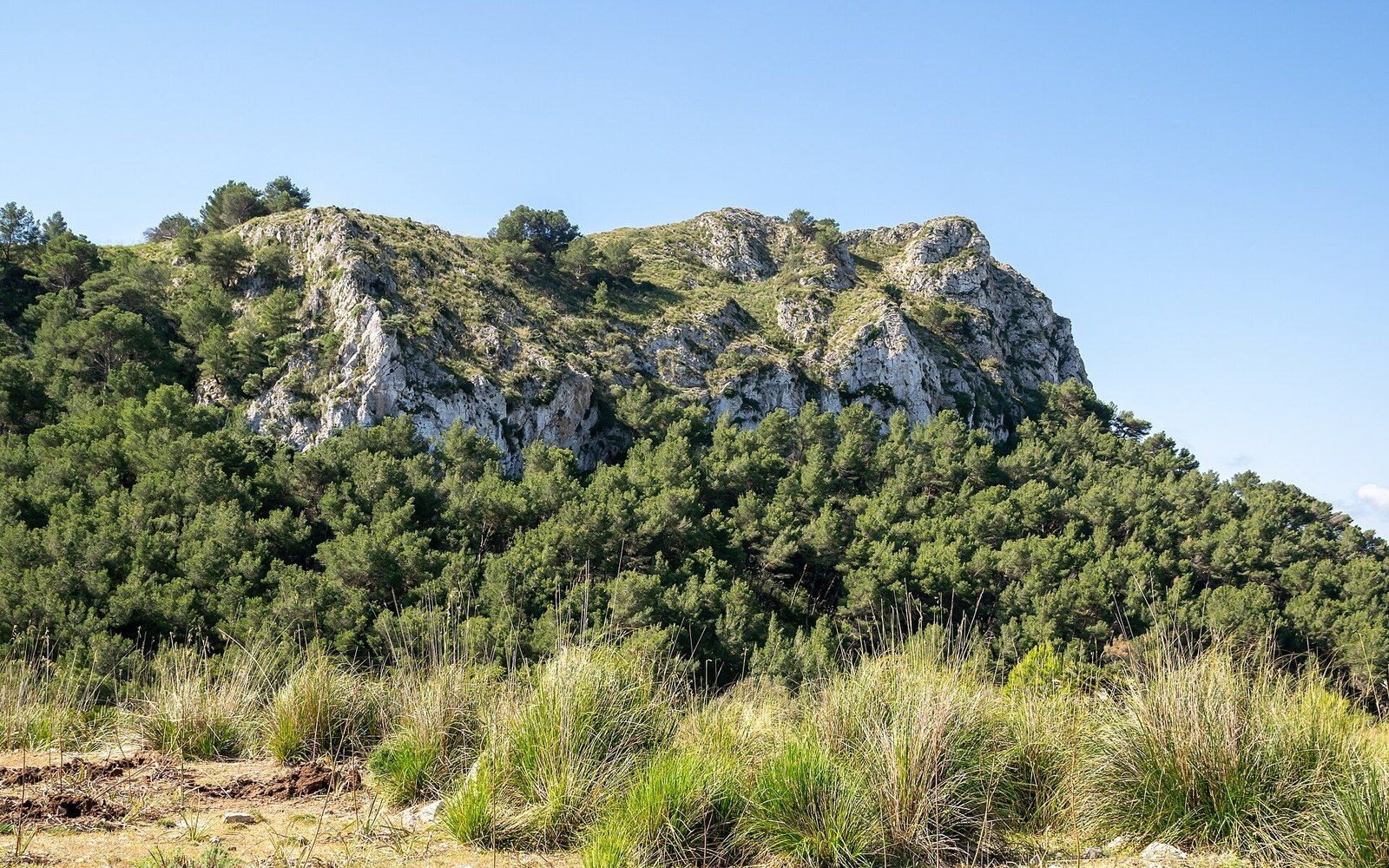
The Llevant natural park exists because the ground was difficult. Protection followed the geography; it rarely worked the other way around.
A coast that resisted
The eastern tip of Mallorca is not the island's most spectacular scenery — that title belongs to the Serra de Tramuntana, whose limestone ridges run the length of the northwest and carry a UNESCO cultural landscape listing. What the Llevant coast has instead is a quality harder to manufacture: it was left alone. The peninsula that terminates at Cap de Ferrutx, the headlands above Cala Torta, the scrubby garrigue slopes running down to the sea between Colònia de Sant Pere and the cape — none of this developed in the way that the Bay of Alcúdia or the Cala Millor shoreline did, and the reason was not foresight but friction. The roads were poor, the anchorages were exposed, and the gradients made building awkward and expensive.
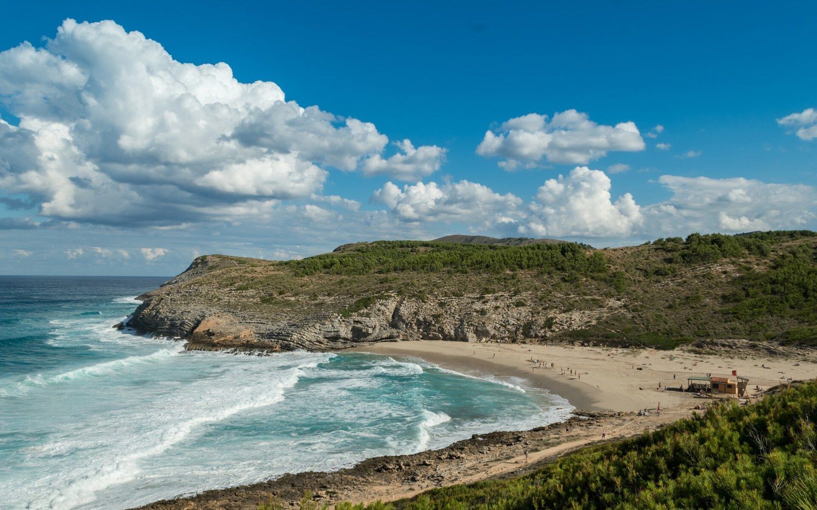
The Parc Natural de la Península de Llevant was formally established in 1999, placing around 1,674 hectares of land and an associated marine strip under protection. By then, the most consequential decisions had already been taken — not by planners but by topography. The limestone ridges, the absence of a decent access road, the lack of mains water at the coast — these were the real gatekeepers. What the park designation did was lock in what the terrain had preserved and give it a legal framework that could survive any future improvement in road-building technology or political will.
What the land actually is
The geology is Mesozoic limestone, the same formation that underlies most of eastern Mallorca and that produces the karstification — the dissolution of rock by mildly acidic groundwater — responsible for both the cave systems inland and the irregular, sea-bitten shoreline. The rock fractures, subsides, and opens into coves. The Coves d'Artà, a few kilometres south along the coast near Capdepera, are the most visited expression of this process; the sea-level caves closer to the park boundary are less accessible and less surveyed. What the limestone does at the surface is equally characteristic: thin, hungry soil supporting maquis and garigue, the dense aromatic scrub of wild rosemary, lentisk, and Phoenician juniper, with occasional wild olive and Aleppo pine where the ground allows root depth.
The torrents — seasonal watercourses that carry nothing for most of the year and can carry a great deal after serious rain — drain the inland slopes of the Artà hills into this coastline. Most of them end not at beaches but at rocky inlets, which is one more reason the coast stayed undeveloped. A seasonal torrent mouth is not an appealing place to site a resort: the bed floods, the beach disappears, the channel shifts. What looks in summer like a dry gully between two headlands is, in a wet October, something more serious.
What looks in summer like a dry gully between two headlands is, in a wet October, something more serious.
Cala Torta is the most accessible of the beaches within reach of the park boundary, and its continued low-key character is a direct function of the access track. There is no road worth the name; visitors who make the effort find a long arc of sand backed by dunes and garigue, with no facilities, no shade structures, and no evidence that the twentieth century tried particularly hard to claim it. That condition is self-reinforcing: because it is inconvenient, it remains inconvenient, and it remains itself.
Protection and what it does
The 1999 designation brought the Llevant coast into the network of protected natural spaces managed by the Balearic Islands government. The park encompasses both terrestrial and marine zones, the latter intended to protect the Posidonia oceanica seagrass meadows that form one of the Mediterranean's most ecologically significant habitats — and one of its most pressure-sensitive. Posidonia oceanica is a slow-growing endemic seagrass ↗ whose meadows have been degraded across much of the western Mediterranean by anchoring, trawling and coastal construction. The marine reserve component of the Llevant park represents one attempt to manage that pressure at a local scale.
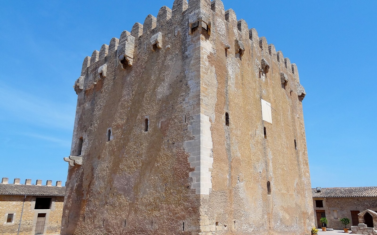
On land, the park status has interacted with patterns of ownership that predate it by centuries. Much of the interior of the Artà peninsula is possessió land — the large historic agricultural estates that structured the Mallorcan countryside from the medieval period onward. A possessió was a self-contained farming and pastoral unit, often with its own chapel, its own water infrastructure, and a set of buildings that amount to a small village. Several of these estates cover land now inside or adjacent to the park boundary, and their continued private ownership under traditional management has incidentally preserved habitats and field systems that more intensive modern agriculture would have erased. The dry-stone terracing that holds the slopes, built over centuries without any recorded designer, is part of the same story: a technique so well adapted to the terrain that it persisted by being cheaper than the alternative.
The park sits at the northern end of a broader protected corridor. The Llevant natural park connects, at least in principle, to the larger Serra de Llevant natural area, creating a green axis across the northeastern quarter of the island and linking the agricultural hinterland around Artà to the coast. Whether that corridor functions ecologically — whether it is wide enough and continuous enough to support dispersal of the mammals, reptiles and raptors that the area holds — is a question that conservation biology asks of all such designations, and the answer is rarely straightforwardly yes. Habitat connectivity in fragmented Mediterranean landscapes ↗ is an active area of research, and the Llevant park is a small piece of a wider puzzle.
What is not in dispute is that the northeastern coast of Mallorca looks different from the coastlines that were reachable and flat. Cap de Ferrutx, the actual tip of the peninsula, is reached on foot. The cliffs above Cala Mitjana hold no apartment blocks. The scrub is scrub rather than golf course. None of this required a particularly heroic act of preservation; it required that the terrain be what it was, long enough that the window for easy development passed.
Key
- Mallorca
- Mediterranean
- This piece
- ●Colònia de Sant Pere — the coast of the Llevant park
The park is the paperwork that followed the geography. The geography did the work first.