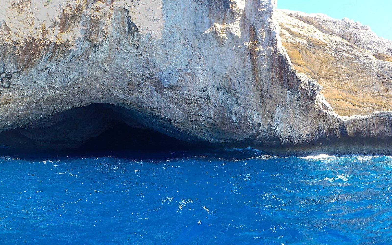
Dissolution features in limestone tell a longer story than the rock around them.
What the Caves Actually Are
Mallorca sits on a foundation of Mesozoic and Cenozoic limestone — carbonate rock that rainwater, slightly acidic from absorbed carbon dioxide, eats along joints and bedding planes over geological time. The process is called karstification, and the Llevant coast is one of the island's richest expressions of it. Rainwater finds a crack, widens it over millennia, and the void it leaves behind is what visitors later call a cave.
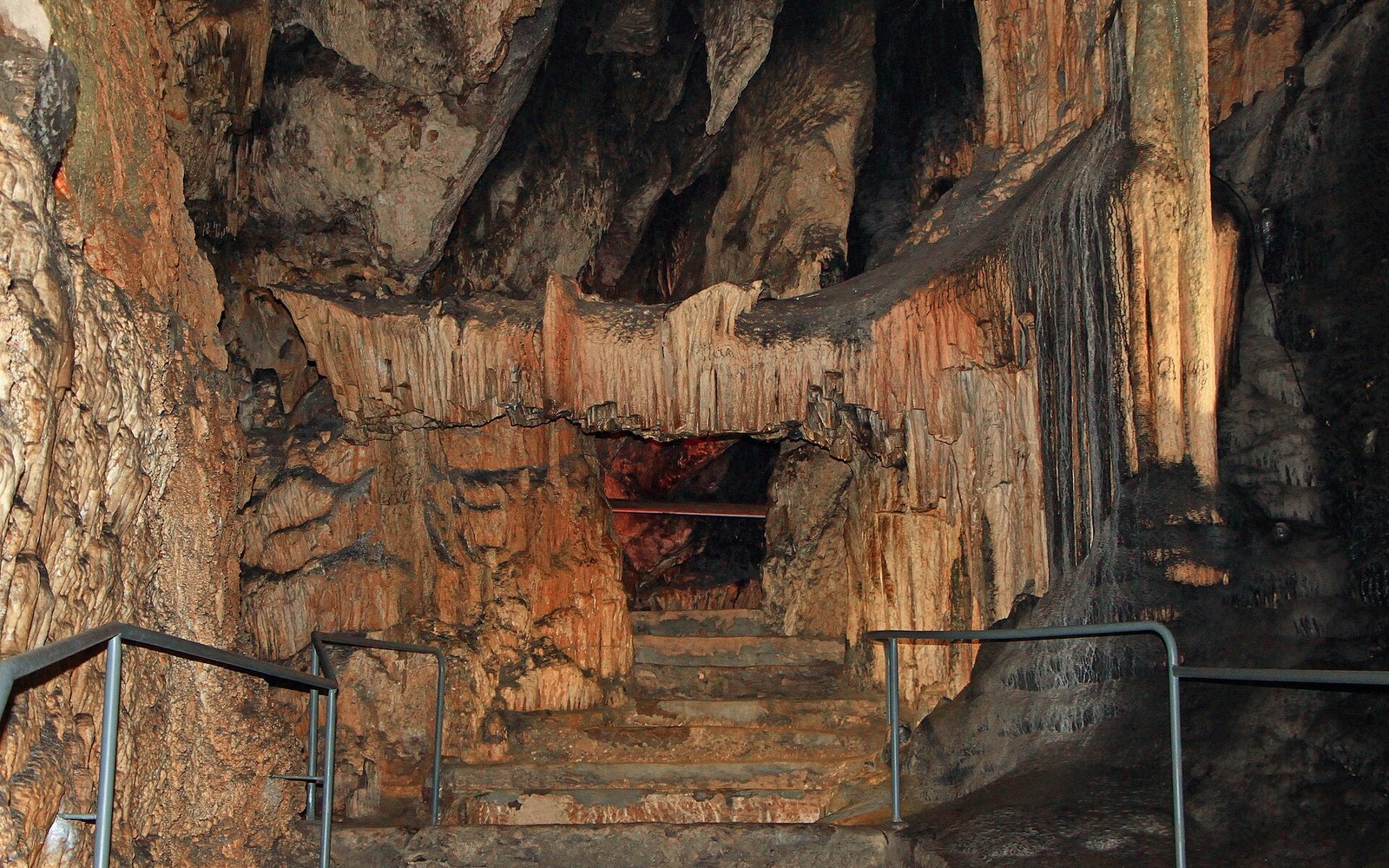
The Coves d'Artà, cut into the sea cliffs above Canyamel Bay, are the most dramatic example on this coastline. Their chambers descend in a sequence of halls, each formed where the dissolving front found a weakness in the rock. What makes them geologically instructive — beyond their scale — is where they sit relative to sea level. The upper galleries formed when the water table stood higher; the lower chambers, some of which flood at high tide today, formed when it was lower. Each level is a record of a different climatic moment, a different configuration of ice sheets and ocean volume.
The speleothems — stalactites and stalagmites — that grew inside once the water drained out are dateable. Uranium-thorium methods applied to speleothems elsewhere in the Balearics have established growth chronologies stretching back hundreds of thousands of years, a precision that makes these formations genuinely useful to palaeoclimatologists rather than merely scenic. The calcite stops accumulating when the cave floods, and starts again when it drains: the layers are a climate archive written in stone ↗.
Rainwater finds a crack, widens it over millennia, and the void it leaves behind is what visitors later call a cave.
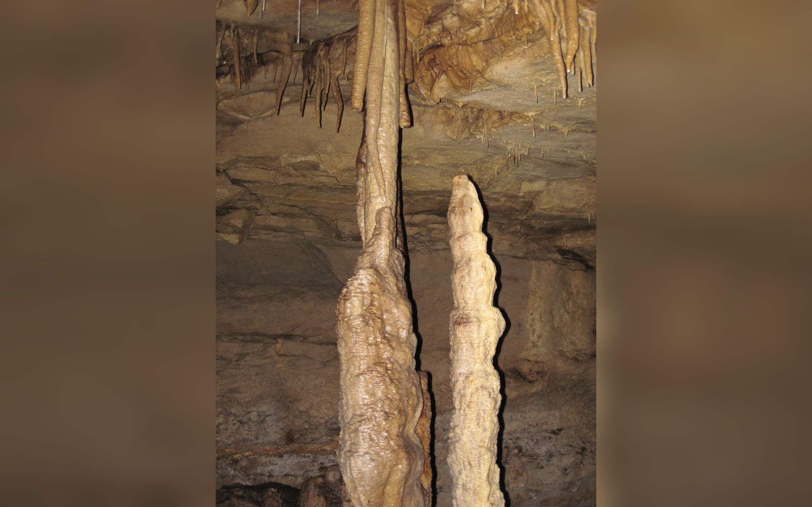
The sea is still involved. The lowest accessible galleries at Coves d'Artà sit at the marine halocline — the zone where fresh groundwater meets seawater intrusion — and tidal movement is measurable in the chambers. What looks like a finished cave is still being modified, if on a timescale that makes human observation irrelevant.
Limestone dissolution on the Llevant coast is not confined to the headland caves. The aquifer beneath the plain is a karst system too: porous and fast-draining, which is why the terrain absorbs rain quickly and the torrents run hard and brief rather than steadily. Caves and aquifer are the same geology working at different scales. The carbonate rock of the Balearic Islands has been dissolving since at least the Miocene, and the coastline's craggy profile — the cliffs, the coves, the submarine sinkholes — is what that process looks like when it meets the sea.