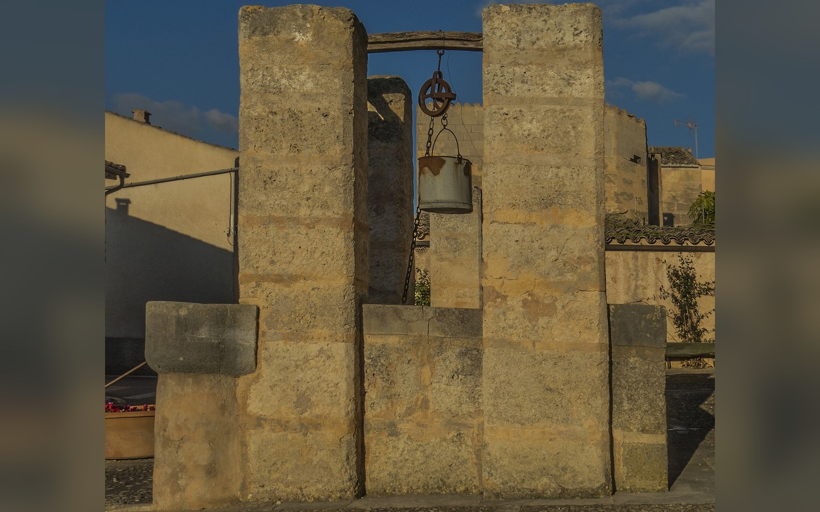
Mallorca depends on groundwater, and over-extraction near the coast draws seawater into the aquifer — a process that is measured and slow to reverse.
How Mallorca's groundwater system works — and what keeps going wrong with it
Mallorca has no permanent rivers. The torrents that score the limestone plateaux are dry channels most of the year, filling violently after autumn rain and emptying again within days. There is no reservoir large enough to supply the island through a dry summer alone. What the island actually drinks — and what irrigates the fields, fills the pools, and flushes the drains of four months of concentrated tourism — comes mostly from below ground, drawn through wells and boreholes from aquifers buried in porous limestone.
That dependence is not a modern improvisation. The geology of the island made it inevitable.
Stone that holds water, and stone that lets salt in
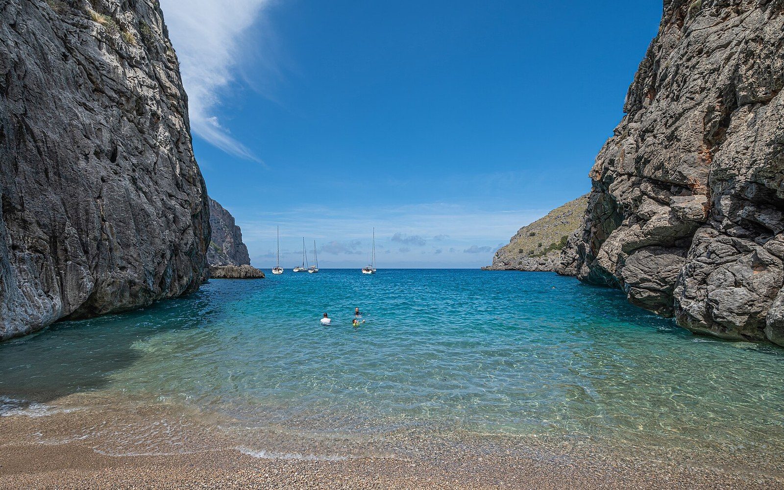
Mallorca is built on Mesozoic limestone, the same formation that produced the karstic caves at the Llevant coast and the great caverns of the Coves d'Artà. Limestone dissolves slowly under slightly acidic rainwater, opening fractures and voids that become underground storage. Rain that falls on the interior mountains drains down through these fractures rather than across the surface, recharging the aquifer — the saturated rock layer — over months and years. In the wetter uplands of the Serra de Tramuntana, recharge is relatively reliable. In the drier east and southeast, the calculation is tighter.
An aquifer near the coast sits at a precarious equilibrium. Fresh groundwater is lighter than seawater and floats above it in the porous rock, pressing outward toward the sea. As long as the fresh layer is deep and continuous, the interface between fresh and salt stays offshore or near the coastline. Extract too much fresh water too quickly — lower the hydraulic head, in the language of hydrogeology — and the interface migrates inland and upward. Salt water moves into the pores where fresh water was. The process is called saltwater intrusion, and in a limestone island with a long coastline and a concentrated tourist economy, it is not a theoretical risk. It is a documented and ongoing problem.
The eastern aquifers — those supplying the municipalities of the Llevant coast, including the area around Artà and Colònia de Sant Pere — are among the most vulnerable on the island. The rock is highly permeable, recharge is limited by lower rainfall than the north and west receive, and extraction has historically tracked tourist demand rather than hydrological capacity.
Measuring a slow disaster
The Balearic Islands Water Agency, the Agència Balear de l'Aigua i la Qualitat Ambiental (ABAQUA), monitors the island's aquifers through a network of control boreholes that measure both water levels and chloride concentration. Chloride is the diagnostic marker: when it rises above the threshold for potable water — 250 milligrams per litre under the European Union's Drinking Water Directive — the well is effectively useless for human supply without expensive desalination or blending. In several coastal zones of Mallorca, chloride levels in monitoring boreholes ↗ have exceeded this threshold for years.
Traditional wells drew from shallow, often seasonal water tables and could extract only as much as the slow recovery of those tables allowed.
The reversal of saltwater intrusion is slow to the point of being almost academic. Even when extraction is reduced substantially, the salt already drawn into the rock matrix does not flush out quickly. Fresh recharge water must displace the intruded seawater through the same slow percolation that allowed intrusion in the first place. Studies of comparable Mediterranean limestone aquifers suggest recovery timescales of decades under favourable conditions — meaning reduced extraction, increased recharge, and no further dry years. The eastern Balearics do not always have favourable conditions. Rainfall in recent decades has been erratic, and dry winters do nothing for recharge.
Desalination has been the emergency supplement. Mallorca's main desalination plant, at Palma, came into operation in 2009, with capacity expanded in subsequent years. A second plant serves the Alcúdia area. These facilities provide a buffer but not a substitute for managed aquifer recovery: desalination is energy-intensive, salt brine must be disposed of back into the sea, and the infrastructure cost is substantial.
The agricultural dimension
Tourism draws the headlines, but agriculture — specifically the irrigation of almond groves, carob trees, market gardens, and the cereal fields of the interior plains — accounts for a large share of total extraction. The possessió (the large agricultural estate historically typical of Mallorca) was built around water management from its earliest incarnation: the Islamic-period improvements to Mallorcan irrigation, documented in the records left after the thirteenth-century conquest, describe a landscape already organised around wells, channels, and the careful distribution of groundwater.
The shift in the twentieth century was one of depth. Traditional wells drew from shallow, often seasonal water tables and could extract only as much as the slow recovery of those tables allowed. Electric pumps and steel-cased boreholes allowed extraction from much deeper primary aquifers, and the rate of extraction outpaced any natural rate of recharge. The plains of the Llevant — the ground behind Artà, behind Manacor, behind the coastal towns — sit above some of the island's most stressed aquifers. The agricultural boreholes that water these fields are not uniformly metered or controlled; illegal and unregistered extraction has been an acknowledged problem for decades, though successive administrations have attempted tighter registration.
What the coast around Artà shows
The Llevant natural park exists partly because the coast here was awkward terrain — difficult road access, thin soils, a limestone plateau more useful to karstic study than to agriculture. That inaccessibility protected the landscape above ground. Below ground, the aquifer that underlies both the park and the municipal area around Artà faces the same pressure as elsewhere on the island's eastern edge.
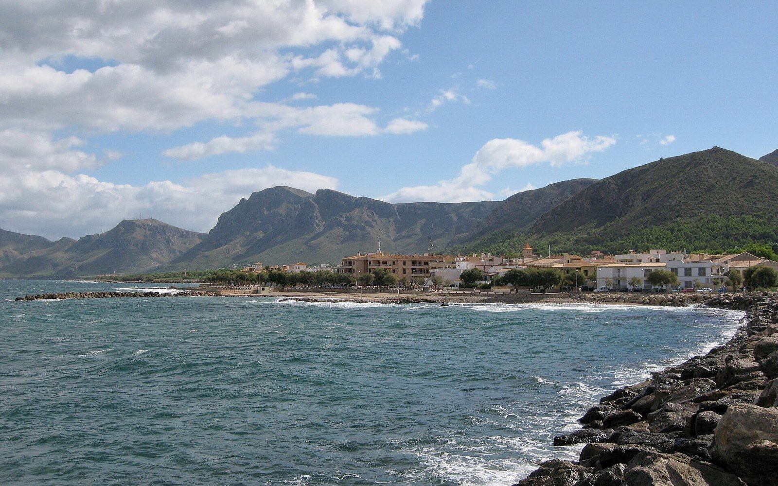
Colònia de Sant Pere, the small coastal settlement at the foot of the Artà peninsula, depends on groundwater for its supply. Its position — low ground, close to the shore, at the end of a long recharge pathway from the interior — makes it one of the most exposed settlements on this stretch of coast. Water quality monitoring here is not an abstraction. When chloride climbs in the monitoring wells, it is a direct signal that the balance between extraction and recharge has tipped, and that it will take years of restraint to tip it back.
The limestone of the Llevant is the same rock that preserves the Bronze Age walls of Ses Païsses, the same that the Coves d'Artà were carved through over millions of years. It holds the island's past and, less poetically, its water supply. The two functions are not unrelated: the same porosity that makes the rock an archive of dissolution also makes it a vessel — one that refills slowly, gives generously when asked too much, and takes a very long time to forget what was taken.