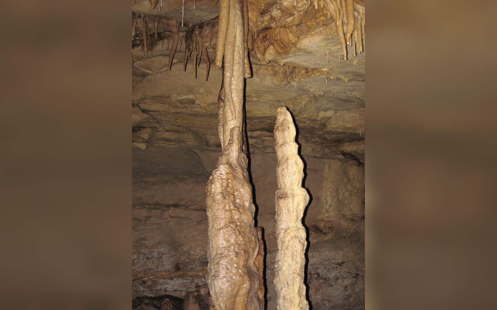
Inside the Coves d'Artà, the tourist trail and the climate archive run along the same stone floor.
Rock that records time
A stalagmite grows because water does two things at once: it dissolves limestone as it passes through the rock above, and it deposits a thin film of calcite when it drips into the cave below. The drip rate, the temperature, the concentration of carbon dioxide — all of these vary with the climate outside, and the variation is written into the crystal layers the way a tree records a dry year in a narrow ring. The difference is that a stalagmite's rings are not annual. In a cave like the Coves d'Artà, on Mallorca's northeastern coast, growth can be slow enough that a single centimetre of calcite represents decades of accumulation. That slowness is the point. It means the record is long.
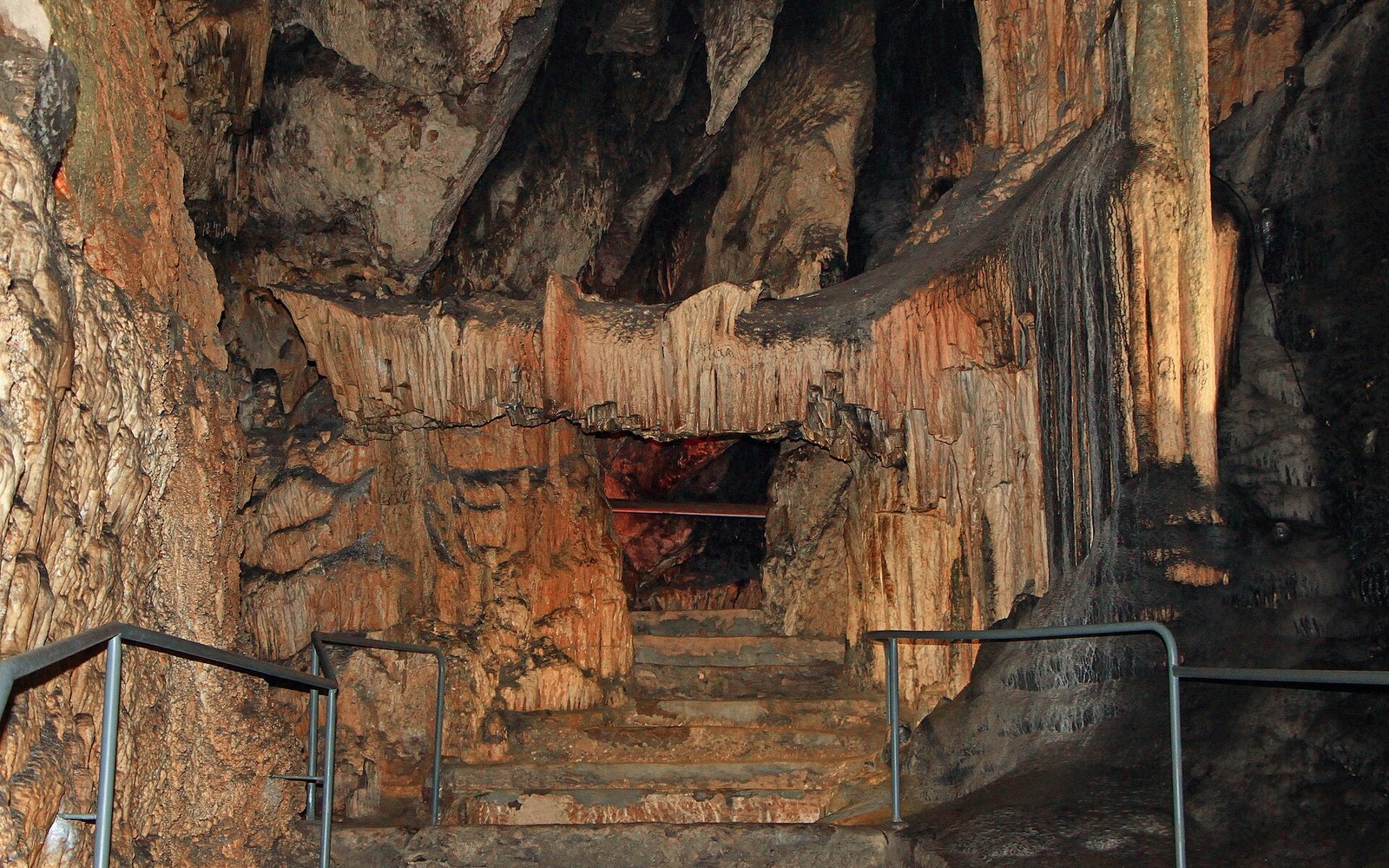
Speleothems — the collective term for cave formations including stalagmites and stalactites — have become one of palaeoclimatology's more productive archives over the past thirty years. Unlike ice cores, which require polar logistics, or tree rings, which run out when forests do, cave formations are found across the Mediterranean and can be dated precisely using uranium-thorium methods. The technique exploits the known decay rate of uranium-234 into thorium-230: uranium-thorium dating ↗ of speleothems can resolve the age of a layer to within a few hundred years even when the sample is several hundred thousand years old.
What the Llevant coast preserves
The Coves d'Artà sit at sea level on the Cap Vermell headland near Capdepera, cut into the same Miocene limestone that runs along this coast. The cave system was mapped and opened to visitors in the nineteenth century — Eduard Martel, the French speleologist, made one of the early systematic surveys — and it has been a set-piece of Mallorcan tourism ever since.
A stalactite that looks static has been growing since before the Roman period, recording each wet winter and each drought in a layer thinner than a sheet of paper.
The climate signal stored in calcite is carried mainly by oxygen isotope ratios. During cold or dry periods, the ratio of oxygen-18 to oxygen-16 in the water reaching a cave changes, and that shift is locked into the crystal. Mediterranean speleothem records have been used to document the 8.2-kiloyear cooling event ↗, the variability of Holocene rainfall, and the relationship between North Atlantic circulation and precipitation patterns across southern Europe. A stalagmite from Mallorca is not an isolated curiosity; it is a data point in a regional network of cave records that together constrain models of past climate.
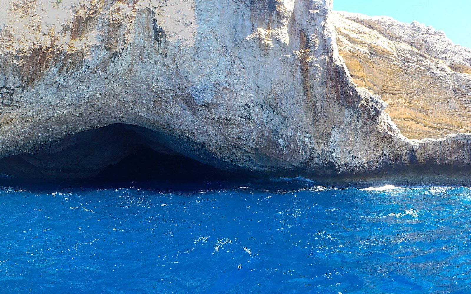
What the Llevant coast's geology adds is position. The eastern Balearics sit at the western end of a Mediterranean moisture corridor strongly influenced by Atlantic weather systems coming through the Strait of Gibraltar and by African air masses from the south. Speleothem records from this position help distinguish between precipitation signals driven by different large-scale patterns — a question with real implications for projecting future water availability on an island that depends heavily on groundwater.
The gap between display and measurement
Most visitors to the Coves d'Artà are there for the theatre of it: the cathedral-scale entrance chamber, the named formations, the coloured lighting. They are not wrong. The cave is genuinely dramatic. But the same formations that are named for resemblances to queens and organs have internal structure measurable in laboratories. A stalactite that looks static has been growing since before the Roman period, recording each wet winter and each drought in a layer thinner than a sheet of paper.
The research does not happen inside the show cave but in university and museum laboratories, using samples removed under permit from less accessible passages. The formations on the tourist route are left as they are. That separation — spectacle here, archive there, both in the same mountain — is not a compromise. It is precisely how the science and the public access can coexist without one destroying the other.