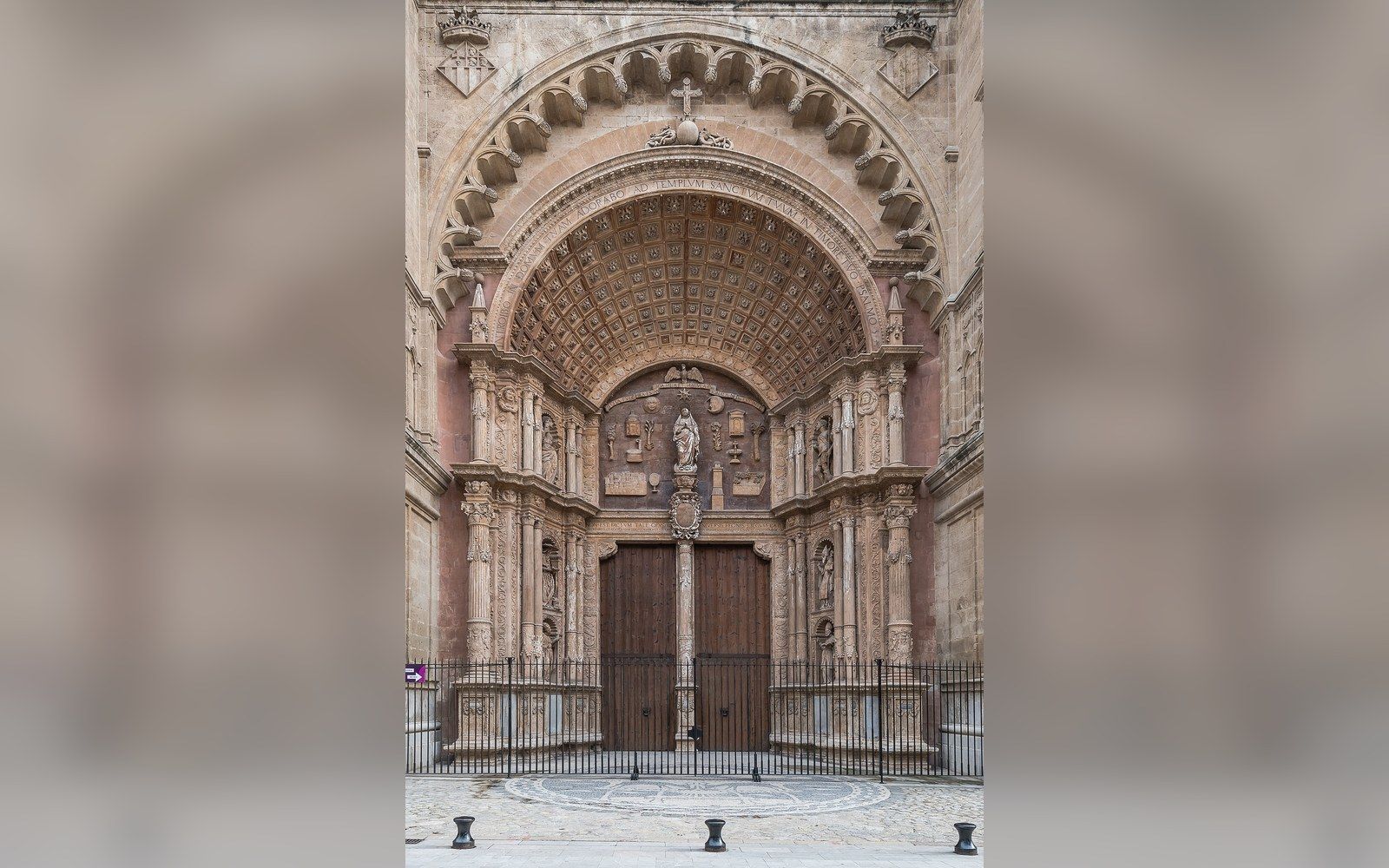
Palma sits at the southwest corner of Mallorca, and every major road on the island arrives there.
A capital by geography as much as by decree
The Romans called it Palmaria, and the basic logic of the site — a sheltered bay, a low ridge above it, the best natural harbour on the island's southern coast — has dictated its importance ever since. When James I of Aragon took the city from the Almohad rulers in 1229, he made it the seat of the new Kingdom of Mallorca, and the administrative gravity it acquired then has never really shifted. The Balearic Islands became an autonomous community of Spain in 1983, and Palma is the seat of both the Govern Balear (the Balearic regional government) and the Consell de Mallorca, the island council that handles roads, land planning and cultural policy across the interior.
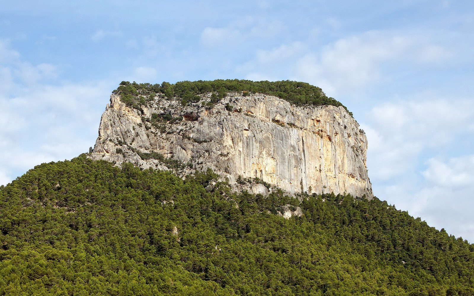
What this means in practice is that decisions about a dry-stone terrace above Artà, a protected park boundary on the Llevant coast, or a groundwater extraction licence in the east are all ultimately routed through offices in Palma. The city is not simply a place; it is the administrative switchboard for an island of roughly 900,000 registered residents, plus a summer population that can push well past twice that.
The cathedral, the port and the ring road
The Catedral de Santa Maria de Palma — universally called La Seu — dominates the waterfront from a limestone bluff above the old harbour. Construction began in the thirteenth century on the site of a mosque, ran for three centuries, and was revised again in the early twentieth century when Antoni Gaudí was commissioned to rework the interior lighting, adding hanging lamps and repositioning the choir. La Seu is one of the largest Gothic cathedrals in Europe ↗, notable above all for the lateral nave windows that flood the interior with coloured light on winter mornings.
Specialist services — hospitals above district level, notaries, courts of appeal, the main university campus — cluster in Palma.
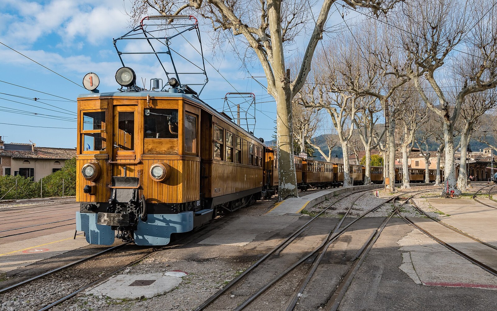
The port below it handles freight, ferries and cruise ships in adjacent but functionally separate basins. Ferries run regularly to Barcelona, Valencia and the other Balearic islands; the freight quays supply most of the consumer goods the island cannot produce itself. Unlike the scenic train line to Sóller, which survived precisely because it was slow and marginal, the port is entirely load-bearing — the island's supply chain depends on it.
The ring road, the Via de Cintura, encircles the urban core and feeds the motorways that run northeast toward Alcúdia and southeast toward the airport. From Artà, the journey to Palma on the Ma-15 is roughly 80 kilometres through the plain of Es Pla — flat almond and carob country, then increasingly suburban as the road widens approaching the capital. There is a regular bus service but no rail connection to Artà; the train network radiates from Palma's Estació Intermodal but reaches Inca and Manacor, not Artà.
What the concentration produces
Centralisation of this kind has familiar consequences. Specialist services — hospitals above district level, notaries, courts of appeal, the main university campus — cluster in Palma. Cultural infrastructure follows: the Museu de Mallorca, the Arxiu del Regne de Mallorca (the archive holding records of land and governance back to the thirteenth century), and the Teatre Principal all sit within walking distance of La Seu. The towns of the interior and the east are well aware that their relationship with the capital involves a journey, and the residents of somewhere like Artà have historically maintained a strong local identity partly in response to that distance.
Key
- Mallorca
- Mediterranean
- This piece
- ●Palma — the port, the cathedral and the administration
The island's aquifer management, its road-building programme and its decisions about which coastlines stay accessible and which attract development are all shaped by priorities set in Palma. Understanding the city is, in that sense, a prerequisite for understanding why the rest of Mallorca looks the way it does: who chose the boundaries of the Llevant natural park, why certain access tracks were never improved, why the eastern coast remained awkward enough to stay largely undeveloped. The capital does not always loom large in the landscape, but it is present in every planning decision that shaped it.